Services
Geoinformática, Inc. is primarily a GIS analysis and planning consultancy . We have worked in so many different projects over the years that we feel confident that we can meet your needs in most of your business endeavors. We work by tailoring proposals to meet your needs with our collaborators.
Planning and Consulting
|
|
|
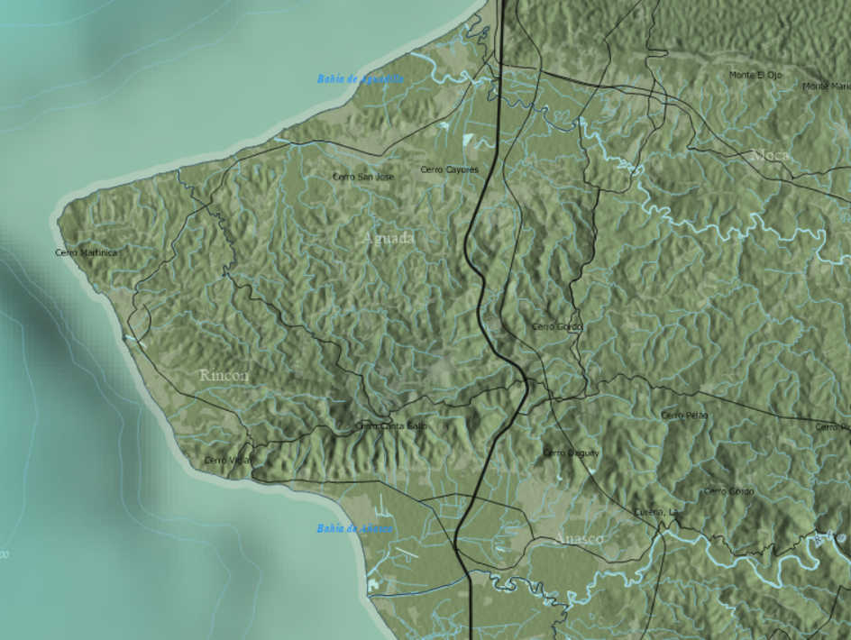
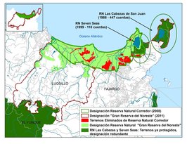
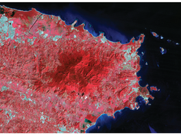
Geographic Information Systems
GIS is an acronym for Geographic Information Systems and as a technology it has been around for about 40 years. GIS software used to be complex, expensive, slow, buggy, and data was hard to acquire. It is now easier than ever to acquire and learn to use sophisticated GIS packages for very little money (or even free!)
|
We provide the following GIS related services.
Geoinformática does not represent any GIS software vendor. We do not sell software. Therefore we are free to recommend you the best posible alternatives without our hands tied.
|
|
|
Our prices for are always fair and competitive. Please contact us at your convenience.