|
We have been collaborating with Dr. Tania Lopez Marrero who with her students at the UPR Mayaguez has published a set of aerial photographs for the coast of Puerto Rico for 1930, 1936 , and 1950s. This is a very good resource for those with interest in looking at changes in the coastal environment of the island. The imagery is in 3 different formats (GeoTiff, KML and JPG). This is the Web site (http://www.prgeoref.org). I would recommend to first download the PDF of report. Click on the image to go to the project web site. 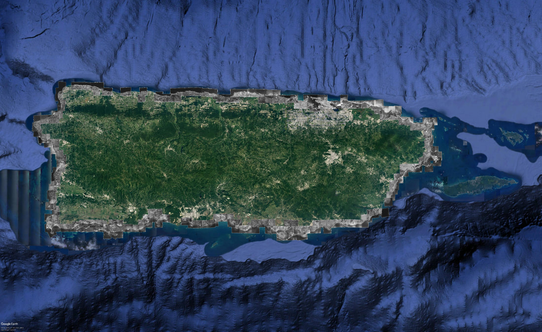 Comments are closed.
|
Antonio González-ToroI write about GIS and Geographical topics. Archives
October 2020
Categories |
 RSS Feed