|
Hi all. The Porto Rico 1930 Georeferenciado project has motivated me to add more data to the free stuff page that I think may be usefull for urban planners and history enthusiasts.. 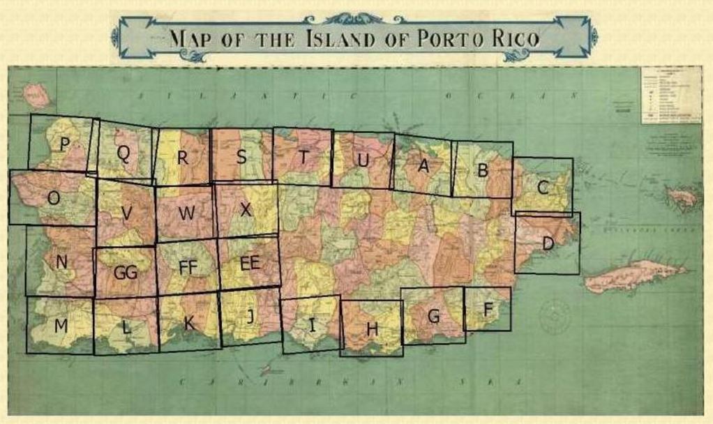 This image from (http://pr1930.revistatp.com) shows the coverage of the aerial photos available from the 1930-31 flights. Note that not all the island townships images are available. In the future, the images from a latter (1936) flight may be made available here.
Keep in mind that... The data are in the public domain, share them. The data are in KMZ format so are viewable using Google Earth as well as other GIS software programs. The data are published here as a gift to the community, we are not responsible for irresponsible use. The data will be available on our free stuff page for a limited time. Go to the free stuff page for the downloads. Comments are closed.
|
Antonio González-ToroI write about GIS and Geographical topics. Archives
October 2020
Categories |
 RSS Feed